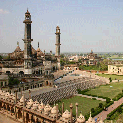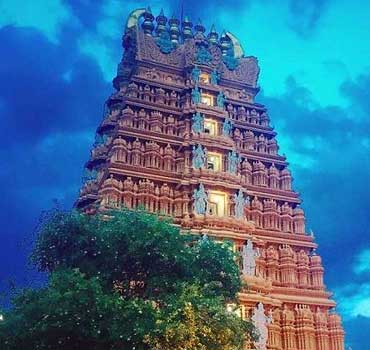
Northern India consists of several geographic regions. In it there are plains, mountains, desert, etc. It is the northern region of India. The main geographical parts include the Ganges plains and the Himalayan mountain ranges. This range separates India from parts of Tibet and Central Asia. Northern India has been the historical center of the Maurya, Gupta, Mughal and British empires. There are many Hindu pilgrimages like Gangotri in the mountains to Varanasi in the plains, and Muslim pilgrimages like Ajmer [etc. There are also many World Heritage sites here, such as the Mahabodhi Temple, Humayun's Tomb and the best Taj Mahal. The states of Jammu and Kashmir, Himachal Pradesh, Uttarakhand, Haryana, Punjab, Rajasthan, Uttar Pradesh, Bihar, Jharkhand, Chhattisgarh and Madhya Pradesh fall in the north and center-north region as defined by the Government of India. The main cities here include New Delhi, Kanpur, Jaipur, Lucknow, Indore, Raipur, Ludhiana, Chandigarh, etc. The main languages spoken here are Hindi, Punjabi, Cashmere, Dogri, Urdu, Awadhi, Maithili, Santhali, English.
The plains here are formed by alluvial deposits brought by the Indus, Ganges and Brahmaputra rivers. The east to west length of this plain is about 3200 km. Its average width is 150 to 300 km. The alluvial deposit has a maximum depth of 1000 to 2000 m. In the north to south direction, these plains can be divided into three parts: Bhabhar, Terai and floodplains. The flood plain is divided into two parts: Khadar and Bangar. Bhabhar is a thin strip 8 to 10 km wide that runs parallel to Shivalik Giripad. As a result, the rivers that flow from the Himalayan mountain ranges accumulate large loads of water, such as large rocks and shells, and sometimes disappear on their own. To the south of Bhabhar is the Terai region, which is 10 to 20 kilometers wide. The lost rivers in the Bhabhar region appear on the surface of this region and because they have no defined vessels, this area becomes Anoop, which is called Terai. The area is covered with natural vegetation and is home to a wide variety of wildlife. To the south of the Terai is the plain, which is made up of old and new floods, called Bangar and Khadar.
In this plain, there is the erosion of the rivers and the topography of the deposition, such as sand-rock, vizarp, Gokhur lakes and cave rivers. The plains of the Brahmaputra valley are known for the presence of riverside islands and sand jets. Here, most of the area is flooded in time and the rivers change their way and make secret boats. The vast rivers that flow through the plains of northern India form the world's largest deltas at its mouth, like the beautiful forest delta. In general it is a flat plain with an average elevation of 50 to 100 meters above sea level. The state of Haryana and Delhi is a division of water between the Indus and Ganges river systems. The Brahmaputra River flows from northeast to southwest in its valley. But before entering Bangladesh, the river turns 90 ° south near Dhubri. These plains are made of fertile alluvial soil. Where many types of crops are grown, such as wheat, rice, sugar cane and jute. Therefore, population density is high here.